Drones, also known as unmanned aerial systems (UAS), are built with essential components such as frames, propellers, motors, batteries, flight controllers and sensors. Their power comes from electric motors, which are typically driven by batteries. They can be multi-rotor, fixed-wing or hybrid types, operating in manual, autonomous or semi-autonomous flight modes.
Drones are used across a wide spectrum of industries and applications, from consumer recreational use to industrial, commercial, and military operations.
What are the benefits of utilizing drones in disaster relief?
Drones make it easier to access areas that are challenging for people to reach, providing them with aerial views of disaster zones. This data serves as a valuable tool for first responders to a disaster site, enabling them to assess the situation and plan their actions accordingly.
Drones can also be used to transport essential supplies quickly and efficiently, such as medical aid, food, and communication equipment. This helps to expedite relief efforts.
In addition, drones are essential in search and rescue missions, providing information needed to identify survivors and guide rescue teams.
These drone-based disaster relief efforts require fewer resources compared to conventional methods, be it on-foot or by helicopter or aircraft.
What are the benefits of real-time pictures of impacted areas?
When disaster strikes, such as earthquakes, hurricanes, or wildfires, drones can fly over the affected areas and capture high-quality images and videos in real-time. These visuals play a crucial role in disaster management for several reasons.
Real-time pictures allow quick assessment of the disaster’s extent and severity. This helps prioritize urgent areas and allocate resources efficiently, leading to a faster, more targeted response.
Drones can reach areas that are dangerous or hard to access, like unstable structures or places that might contain toxic substances. They can fly at low altitudes and navigate through tight spaces, providing critical, up-to-date information without putting more lives at risk.
Real-time images help search and response teams locate survivors or missing people, especially in large disaster-impacted areas. Search and rescue teams can analyze the data to identify potential areas where people might be trapped or stranded, improving the chances of finding and rescuing them quickly.
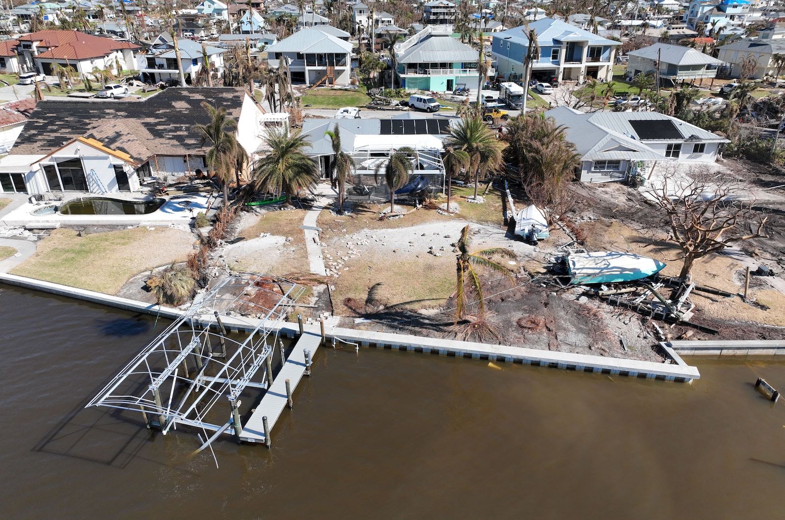
The drone images also help conduct damage assessments, which are valuable for insurance claims, post-disaster recovery planning, and reconstruction efforts.
How do drones map disasters and/or determine their extent?
Drones map disasters and determine their extent using advanced imaging and data collection technologies. When a disaster happens, drones are deployed to fly over the affected areas. They capture high-resolution images and videos of affected areas, which can be processed and analyzed to create detailed maps and 3D models.
Drones can also deploy LiDAR (Light Detection and Ranging) technology, which uses laser pulses to measure distances and create terrain models. LiDAR is particularly useful for mapping areas with dense vegetation or rugged landscapes where traditional imagery may be obstructed.
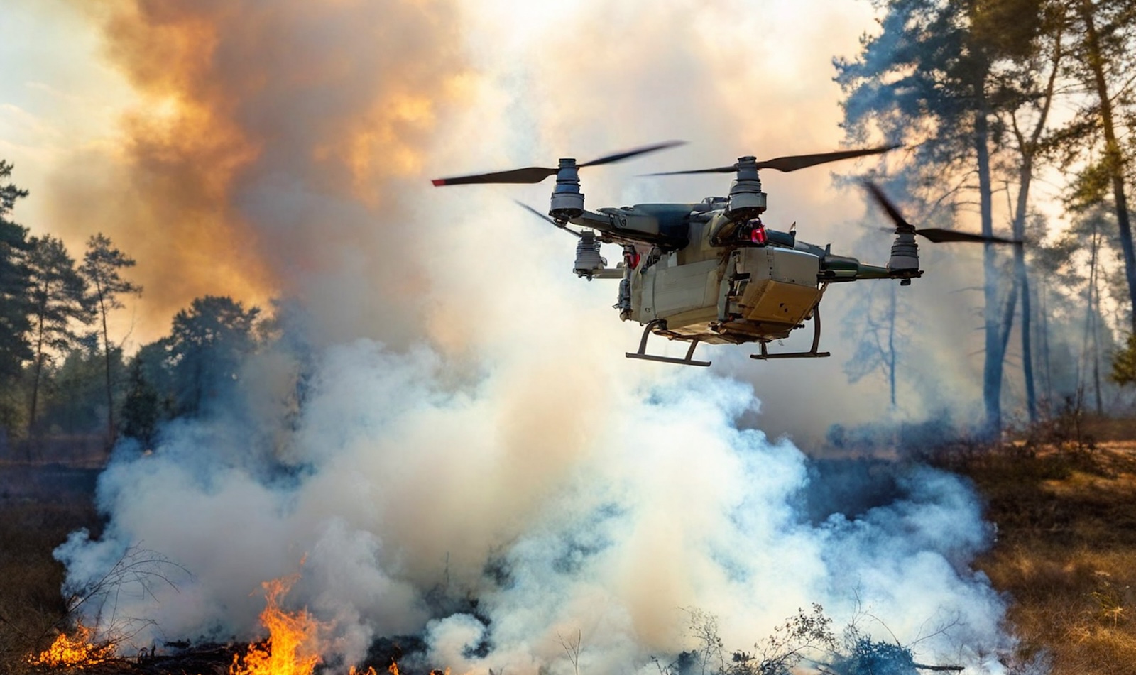
Thermal imaging cameras mounted on drones can detect heat signatures, helping identify hotspots, fires or people in distress.
What are the different types of drones used for disaster response?
Multi-rotor drones, like quadcopters, hexacopters, or octocopters, can hover, maneuver in tight spaces, and capture high-resolution images and videos. Fixed-wing drones, similar to small airplanes, are better suited for mapping large areas or completing long-range reconnaissance. These drones require more space for takeoff and landing than their multi-rotor counterparts.
Hybrid drones combine features of multi-rotor and fixed-wing drones, often with vertical takeoff and landing and greater flight endurance. They are ideal for mapping and surveillance over challenging terrains.
Payload drones, familiar in military settings, are designed to carry specialized equipment like thermal cameras, LiDAR sensors, or communication devices. They are ideal for locating survivors, assessing damage, and maintaining communication in disaster zones.
Cargo drones are similar, capable of transporting essential supplies, such as medical aid, to hard-to-reach areas.
The capabilities and limitations of drone operations are directly influenced by their battery technology. Flight time, response speed, range and mobility, payload capacity, and endurance in extreme conditions are all impacted by battery capacity and energy density.
Investments in improving drone battery technology lead to more efficient and effective disaster response operations.
Extended flight times, quick recharging options, and enhanced performance in challenging conditions contribute to maximizing the positive impact of drones in post-disaster scenarios, aiding responders in their life saving efforts and expediting recovery efforts.
Examples of drone deployments in post-disaster situations
2017 Hurricane Harvey
In the aftermath of Hurricane Harvey, drones helped assess damage in Houston. It came about a year after the Federal Aviation Administration eased some restrictions on professional drone use.
After the hurricane, 43 organizations received special authorization to operate drones in the area, including railroad companies, media organizations, oil and gas companies and insurance companies all using drone footage for inspections.
Using drones to surveil for insurance claims, the goal was to have people in Houston’s claims paid out as quickly as possible. Farmers Insurance said drones could help a claims adjuster process three houses in one hour — and without a drone, three houses could be processed in one day.
2019 Typhoon Hagibis – delivery of food and supplies by drone
Drones did similar work following Typhoon Hagibis (PDF) in Japan, taking pictures and videos of areas difficult to access by land, the damaged status of private residences, and flooding, which were provided to disaster relief operations and local governments.
The Tokyo Metropolitan Government also used a drone to deliver relief goods to an area isolated following Typhoon Hagibis.
2020 California Wildfires
California had almost 10,000 fire incidents in 2020, including the first gigafire – a burn exceeding one million acres.
Stakeholders needed to collect information and share it across many agencies and organizations, including firefighters and state and federal disaster prevention agencies.
Geospatial consulting firm GeoAcuity moved quickly, delivering drone-based imagery within 24 to 48 hours of takeoff, including 360-degree panoramas and aerial videos of fire areas.
What challenges can arise when using drones in disaster response?
Using drones in disaster response can face several challenges. Adverse weather conditions like strong winds or heavy rain limit their flight capabilities. Regulatory restrictions and airspace regulations can impede drone deployment, especially in populated areas or near airports (more about current regulations below). And, as noted, battery life can restrict drone flight time and efficiency during critical missions.
Navigating complex and dynamic disaster environments, like collapsed structures or dense forests, can be risky, and interference with communication systems and signal disruptions can impede real-time data transmission.
Overcoming these challenges requires redundancy planning, trained operators, advanced technology, and collaboration with regulatory authorities to ensure drones’ safe and effective use in disaster response.
What are the current regulations for drone operation after a disaster?
The FAA says first responders and other organizations responding to natural disasters or other emergencies may be eligible for expedited approval through its Special Governmental Interest (SGI) process.
Operations that may be considered include:
- Firefighting
- Wildfire suppression
- Red flag warning area monitoring
- Search and rescue
- Law enforcement
- Utility and other critical infrastructure restoration
- Damage assessments to support disaster recovery-related insurance claims
- Media coverage that provides crucial information to the public
Only existing Part 107 remote pilots with current certification can apply for a waiver through the SGI process or those with an existing certificate of waiver or authorization (COA). If approved, the FAA will add an amendment to the current COA or Remote Pilot Certificate that authorizes pilots to fly under certain conditions for the specified operation.
Ways to mitigate risk when deploying drones after disaster events
While drones play a crucial role in contributing to relief efforts after a disaster, there are risks to using them, as outlined above. Risk mitigation strategies will help ensure the safety of responders and affected communities.
Planning is the first defense long before a disaster strikes. Stakeholders should develop drone deployment plans when disaster is not looming, including risk assessments, emergency protocols and collaboration with other stakeholders like government authorities.
Anyone piloting a drone through a disaster should be well-trained, experienced and qualified to ensure they will adhere to safety guidelines and local regulations.
To ensure flight safety, operators should:
- inspect and maintain drones regularly
- avoid adverse weather conditions where possible
- establish no-fly zones near critical infrastructure or emergency response sites
- maintain clear communication with response teams and air traffic controllers
- monitor for signal interference and electromagnetic compatibility issues, especially in densely populated or urban areas
- have backup batteries ready and plan for battery changes during extended missions
- invest in energy dense batteries needed to ensure operations can continue in critical situations
- inform the public about emergency drone operations and their purpose
What future technologies will expedite disaster responses?
Using AI for early warnings of natural disasters
Artificial intelligence (AI) is something the World Meteorological Organization, International Telecommunication Union (ITU), and the United Nations Environment Programme (UNEP) are exploring for disaster mitigation.
AI algorithms can process vast amounts of data from various sources, including satellite imagery, weather sensors, and social media feeds. Researchers at the KIOS Research Center at the University of Cyprus are exploring the use of drone-based sensors that use machine learning algorithms to track objects detected from the air.
This data allows for real-time monitoring and analysis of weather patterns, seismic activity, and other indicators of potential disasters.
Based on historical data and current trends, sophisticated predictive models can forecast the likelihood and severity of many natural disasters, providing early warning alerts to at-risk communities.
AI can also recognize patterns and anomalies in data that humans might miss, helping to identify early warning signs of impending disasters — and it can automatically generate and disseminate alerts when a potential disaster threat is detected.
Finally, AI can optimize the allocation of resources by predicting the areas most likely to be affected by a disaster. This helps emergency responders prioritize their efforts and allocate resources efficiently.
Virtual reality used for emergency training simulations
Virtual reality (VR) is increasingly used for emergency training simulations thanks to its immersive and realistic nature.
For example, Ohio State University College of Medicine researchers built a VR program for first responders to mass casualty incidents. This program simulates a lifelike subway system following a bomb detonation, with the operator choosing the number of casualties, types of injuries, and environmental factors such as smoke and noise.
Participants, wearing VR headsets, practice response procedures, decision-making, and teamwork in a safe environment offering real-time feedback and performance evaluations to enhance learning.
Satellite networks to track the location of vulnerable populations during a disaster
As an Access Partnership paper highlights, the availability of communication networks is directly related to the ability to respond quickly to emergencies.
Using satellite networks to track vulnerable populations in disasters enhances response efforts and ensures their safety.
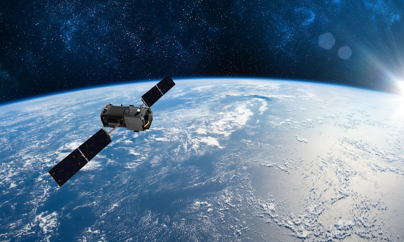
This works through geolocation tracking, emergency alerts, mapping, identification of safe zones, and remote monitoring, which enables informed decisions, efficient resource allocation, and timely assistance for those in need. In turn, faster response times during natural disasters impact mortality, morbidity, and property damage costs.
Robotics technologies for search and rescue
Yes, rescue robots are real — not just in movies and television. The biggest problem for rescue robots is a lack of awareness: responders need to know about the high-tech options available.
Using robotics technologies improves situational awareness, access to hard-to-reach areas, and safety and efficiency in critical search and rescue operations. There are rescue robots designed for water, vital in flash-flood situations; search and rescue robots that can do everything from shutting off valves to carrying oxygen tanks; earthquake and fire robots; and even aerial rescue robots.
These search and rescue robots have been deployed in real-life disaster situations, making the difference between life and death, mitigating human risk, and improving every day with greater technology and operator interest.
These are just some of the fascinating ways that drones are used to identify and deal with disasters efficiently. As technology advances, we can look forward to continued development and innovation in how we respond and react to disasters with increasing speed and accuracy to bring rescue and relief to those in need.


